

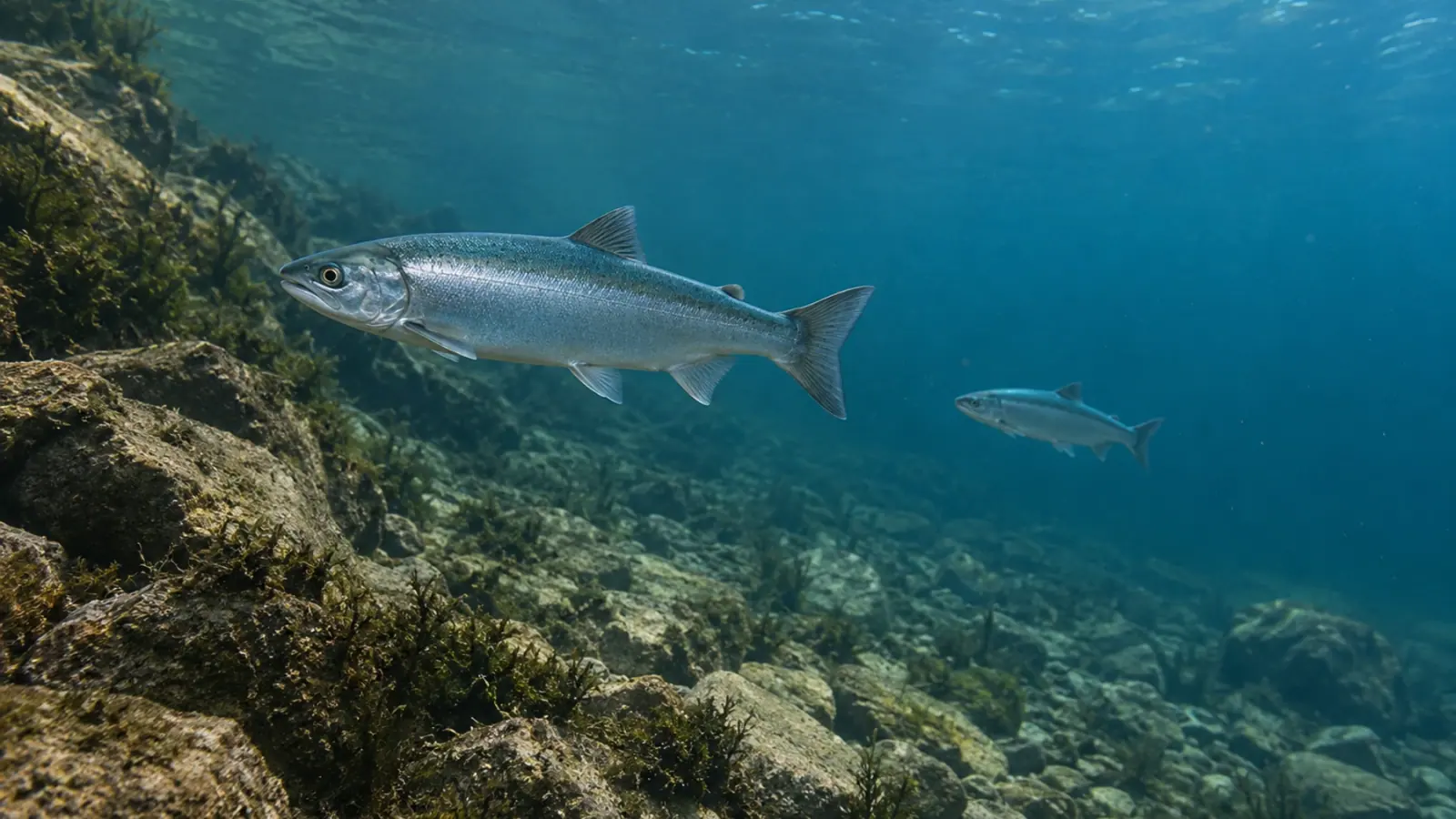
Lake oxygen refuges can differ between connected basins
An August 2026 study at Japan’s Lake Yunoko links spatial differences in kokanee environmental DNA to oxygen conditions in two connected basins. It supports mapping available cold-water habitat both vertically and across a lake.


- Content type
- Scientific news
- Sector
- Environment
- Animal group
- Salmonids
Oxygen conditions vary across a lake as well as with depth
Two parts of the same lake can offer fish different conditions even when their temperatures are similar. Depth, bottom topography and dissolved oxygen help determine which spaces remain usable. A single measurement at a convenient sampling point cannot reconstruct that habitat.
A study by Ryosuke Katayose and colleagues, published in PLOS One in August 2026, examined this problem at Lake Yunoko in Japan. It combined water profiles, acoustic fish detections and environmental DNA from two salmonids. Its findings suggest that spatial oxygen differences can help distinguish habitat between connected lake basins.
Two sites followed through six daytime surveys
Lake Yunoko is small, with a maximum depth of 13.6 metres. An underwater ridge separates two basins. The researchers selected one site in each and surveyed them monthly from June to November 2022, during daylight.
They measured water conditions by depth, collected environmental DNA samples and used hydroacoustic equipment to describe fish distribution. Species-specific molecular analyses targeted kokanee, the lake-resident form of Oncorhynchus nerka, and rainbow trout, Oncorhynchus mykiss.
The methods provide complementary information. Acoustic detections locate fish in the water column without assigning every echo to a species. Targeted DNA assays distinguish the two species, but copy numbers are not a direct count of individuals. Neither approach fully replaces the other.
Combining the datasets requires keeping those distinctions visible. An acoustic pattern involving the fish assemblage cannot simply be labelled a kokanee movement track because kokanee DNA was detected nearby. The evidence supports an interpretation of distribution, with limits on its resolution.
Kokanee DNA differed between the basins
During the summer habitat restriction, oxygen conditions were more favourable in some layers at Site A. From August to October, kokanee DNA concentrations were also higher there than at Site B. That correspondence supports an association between the species’ spatial distribution and the availability of suitable habitat.
Rainbow trout DNA showed no clear difference between sites. This result should remain visible rather than being folded into a common response for all salmonids. The authors discuss a weaker thermal restriction for trout in this lake, while also noting that its DNA signal was lower and more often undetected.
Acoustic observations likewise showed higher fish densities within layers meeting the researchers’ selected oxythermal criteria. Those criteria defined habitat categories for the analysis. They are neither regulatory standards nor a guarantee of welfare for other species or life stages.
Topography may affect access to a refuge
Thermal stratification can leave warmer water near the surface and cooler water below. When deep layers lose oxygen, the space offering both suitable temperature and oxygen conditions narrows. However, low oxygen does not necessarily develop uniformly across a lake.
At Yunoko, the ridge between the basins adds a possible constraint on movement. A favourable area is useful only if fish can reach and occupy it. The study did not track individual movements, so the role of connectivity remains an interpretation consistent with the water profiles and bottom shape.
For managers, this supports considering habitat continuity in three dimensions. A surface map or mean temperature can miss an important difference between two basins. The deepest point should not automatically be designated a refuge; the relevant question is where usable conditions occur for the population being assessed.
The food-web explanation is still a hypothesis
The researchers also assessed zooplankton, chlorophyll and water transparency. Some potential kokanee prey were more abundant in the basin with the weaker kokanee DNA signal. However, the zooplankton differences were not statistically supported.
Different predation pressure is therefore a possible explanation, rather than a demonstrated mechanism. Fish consumption of prey was not measured directly. The study cannot establish that oxygen differences caused a complete trophic cascade or independently reorganised the food web.
This distinction has practical consequences. A change in molecular signal or prey distribution can guide further monitoring. It does not, on its own, justify intervention in the fish community or lake without defining the problem, the objective and the expected effects.
Preserve the spatial contrasts in a monitoring design
The work covers one lake, two sites and one season of surveys. Monthly daylight observations cannot describe every short-lived or nocturnal change. DNA transport, degradation and detection limits can also affect the patterns measured.
Applying the approach elsewhere could involve repeated vertical profiles, comparisons across several sectors and complementary fish observations. Dates, depths and methods should remain attached to the results rather than being reduced to a single lake-wide average. Comparisons over time need sufficiently similar observation conditions.
A useful monitoring plan should also explain how it will test an apparent refuge. Repeatedly finding favourable water is one component; evidence that the target fish can access and use it is another. The Yunoko study shows why both physical conditions and biological observations deserve attention.
The main contribution is an argument for mapping habitat through temperature, oxygen and topography together, with appropriate biological validation. Vetofish’s advice and support service can help environmental teams interpret these datasets and prepare monitoring. The aim is to identify where habitat may become restrictive and which observations could test that interpretation.


